Remote Sensing
An Introduction
Prof. David Bernstein
James Madison University
Computer Science Department
bernstdh@jmu.edu
Introduction
Remote Sensing Defined:
The science of acquiring information about a planet's surface using a device that is not in contact with that planet
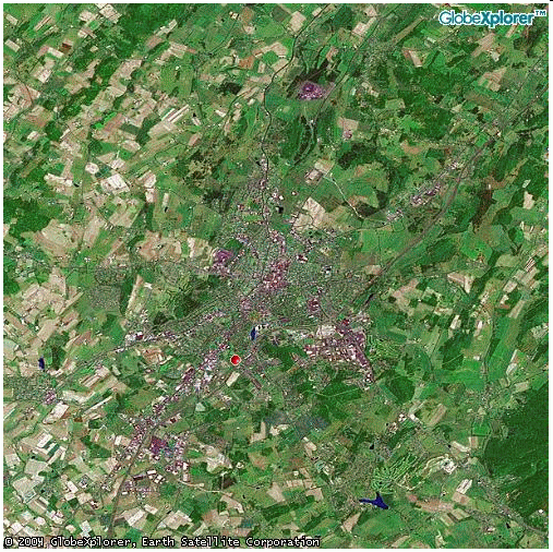
An Example:
The Participants and the Process
Energy Source:
Illuminates or provides electromagnetic energy
Radiation and the Atmosphere:
As the energy travels from its source to the planet it passes through the atmosphere
Interaction with the Planet:
Depends on the properties of both the "target" and the radiation
Sensor:
After the energy has been scattered by, or emitted from, the target, it is collected and recorded by a sensor
Energy Sources
Passive Systems:
Detect the naturally occurring energy (usually from the sun)
Active Systems:
Provide their own energy source (e.g., laser fluorosensors and a synthetic aperture radars)
Collection and Recording
Photographic:
Involves chemical reactions on the surface of light-sensitive film
Electronic:
Involves electrical/physical processes
Sensor Platforms
Ground-based platforms
Aircraft
Space craft and satellites
Resolution
Spatial:
Related to the instantaneous field of view
Spectral:
The ability of a sensor to define fine wavelength intervals
Radiometric:
Sensitivity to the magnitude of the electromagnetic energy
Sources/Causes of Distortion and Error
Perspective of the sensor
Motion of the scanning system
Platform altitude, attitude, and velocity
Terrain relief
Curvature and roatation of the planet
Uses of Remote Sensing
Photogrammetry:
Obtaining measurements or information
Planimetry:
Identifying and locating natural and man-made features
Stereogrammetry:
Extracting elevation information from stereo overlapping images
Interferometry:
Gathering elevation data using successive passes of synthetic aperture radars
Base and Thematic Maps